
» Grabpics
» Blurries
» Framegrabs
» Drawing Frames
» Wallpapers
» Things & Places

» Voices
» Colours
» Fun facts
» Prank Calls
» Episode List
» Episode Ratings
» Homer's Mmmm...
» Things & Places
 » About
» Links
» Search
» Filled Requests
» Support
|
Sounds: 1176 Grabpics: 106 Blurries: 101 Framegrabs: 6417 Drawing Frames: 185 Wallpapers: 64 Things: 11173 Places: 2821 Requests: 7 |
  |
 |
| Season 1 | ||
| 0021.JPG | #7G05 | Sherman's map |
| 0022.JPG | #7G05 | Maps and scale model |
| Season 2 | ||
| 0017.jpg | #7F07 | Map of Mr. Burns' estate. |
| 0018.jpg | #7F16 | South America map. |
| Season 3 | ||
| 0010.JPG | #8F01 | Springfield map. |
| 0011.JPG | #8F01 | Springfield National Forest map. |
| 0012.JPG | #8F04 | Nuclear Power Plant blueprints. |
| 0013.JPG | #8F04 | Deadly nuclear blast radius map. |
| 0014.JPG | #8F17 | Springfield county map. |
| 0015.JPG | #8F17 | Swartzwelder county map. |
| 0016.JPG | #8F17 | Michael Jackson Expressway. |
| Season 4 | ||
| 0019.JPG | #9F10 | Monorail map (Ogdenville, North Haverbrook, Brockway). |
| 0020.JPG | #9F14 | Power plant Sector 7-B map. |
| Season 5 | ||
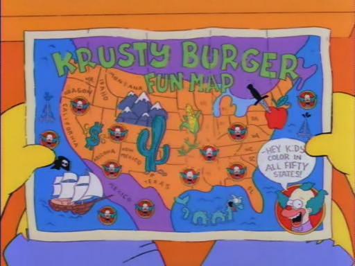
| 0001.JPG | #1F06 | Krusty Burger fun map. |
| 0002.JPG | #1F06 | Krusty Burger fun map. |
| 0003.JPG | #1F09 | Map of Springfield. |
| 0004.JPG | #1F15 | Map of Springfield. |
| Season 6 | ||
| 0023.JPG | #2F01 | Map of Itchy & Scratchy Land |
| 0024.JPG | #2F01 | Torture Land (Itchy and Scratchy Land) |
| 0025.JPG | #2F01 | Explosion Land (Itchy and Scratchy Land) |
| 0026.JPG | #2F01 | Searing Gas Pain Land (Itchy and Scratchy Land) |
| 0027.JPG | #2F01 | Unnecessary Surgery Land (I & S Land) |
| 0028.JPG | #2F02 | New Expressway map |
| 0029.JPG | #2F02 | Matlock Expressway map |
| 0030.JPG | #2F02 | World map |
| 0031.JPG | #2F05 | United States weather map |
| 0032.JPG | #2F13 | Equator on World globe |
| 0033.JPG | #2F13 | South America and Rand McNally logo on globe |
| 0034.JPG | #2F13 | Australia on world globe |
| 0035.JPG | #2F13 | South America on globe |
| 0036.JPG | #2F21 | Springfield map |
| 0037.JPG | #2F16 | Model of Springfield in Mr. Burns' office |
| Season 7 | ||
| 0038.JPG | #2F20 | Map of Springfield. |
| 0039.JPG | #2F20 | Map of Springfield. |
| 0040.JPG | #2F17 | Map of the United States |
| 0041.JPG | #3F02 | Map |
| 0042.JPG | #3F10 | Map of the United States |
| 0043.JPG | #3F17 | Map of the United States (Nuclear reactors) |
| 0044.JPG | #3F17 | Map of the United States (Nuclear reactors) |
| 0045.JPG | #3F17 | Maps |
| 0046.JPG | #3F17 | Map of the United States (Nuclear reactors) |
| 0047.JPG | #3F19 | Building plan |
| 0048.JPG | #3F20 | Map of the United States with states |
| 0049.JPG | #3F20 | Close up of US map |
| 0050.JPG | #3F20 | Close up of US map |
| Season 9 | ||
| 0005.JPG | #5F13 | Springfield Residential Hills map. |
| 0006.JPG | #3G04 | Springfield Harbor map. |
| 0007.JPG | #5F09 | Map of Springfield. |
| 0008.JPG | #5F17 | Springfield Bus Routes map. |
| 0009.JPG | #5F17 | Area 51-A map. |

|